Map of the Grand Trunk Road
Geography and Setting
“If Ganga lives, India lives. If Ganga dies, India dies.” -Dr. Vandana Shiva
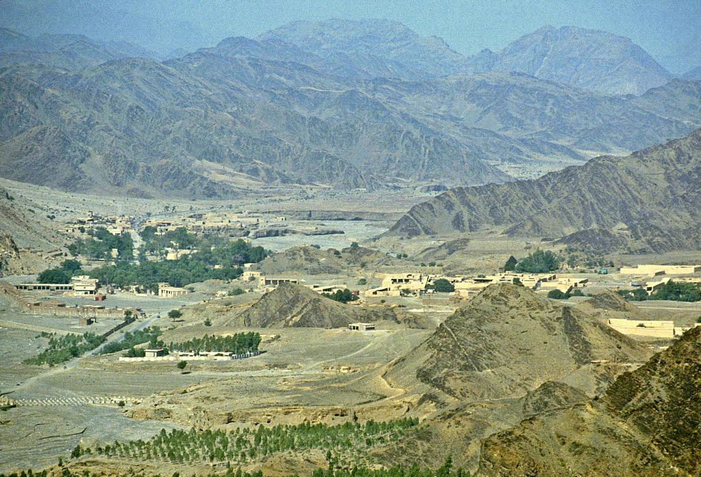
One of the most critical aspects of the GTR is the routes’ incredibly facilitative geography. The full extent of the modern, nearly 3,000 kilometers(1,864 miles) route only varies in elevation relatively marginally from its start and the highest point at the 1,791 meters(5,973 feet) high Afghanistani capital of Kabul and its eastern terminus in Sonargaon, Bangladesh. By the time the route descends some 460 meters(1,510 feet) into the Peshawar valley from the Khyber pass, only 25 kilometers(15.5 miles) from its highest point at the town of Landi Kotal, the topography of the GTR becomes incredibly conducive to travel, with only a soft gradient of elevation change as it follows the Ganges river and descends to near sea level in Bangladesh.

Different Worlds, The Same Landscape:
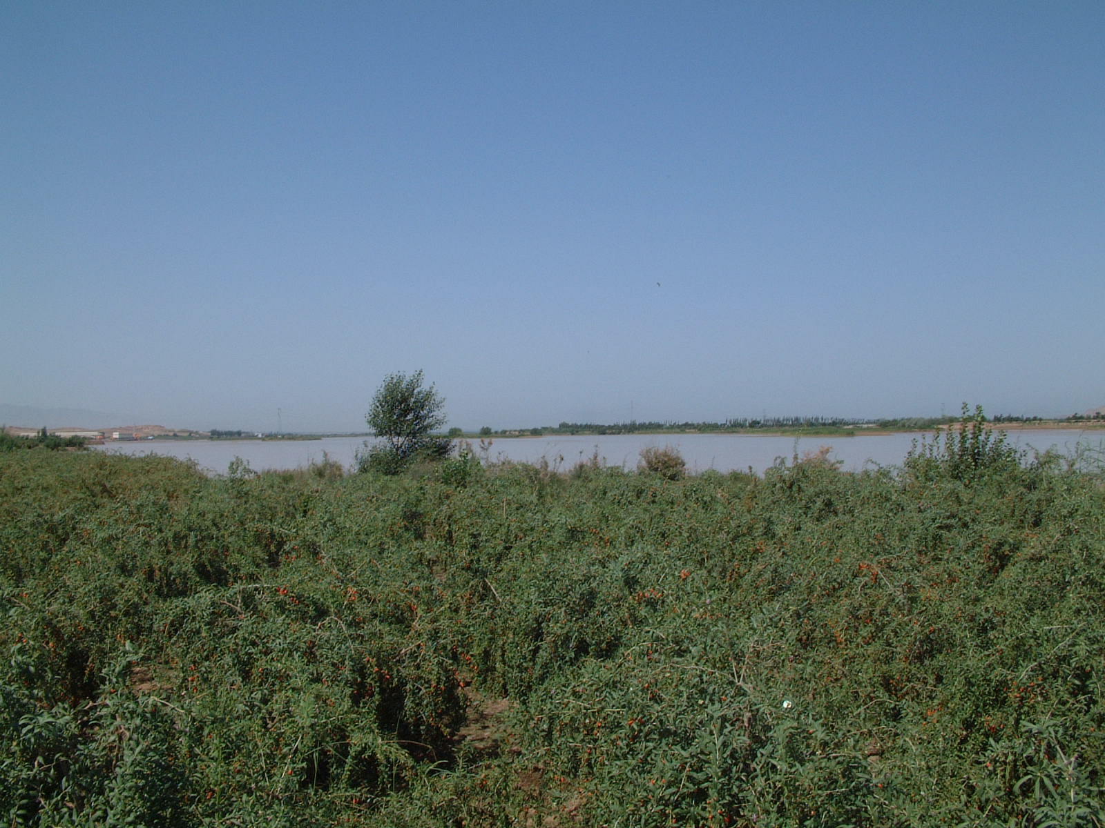
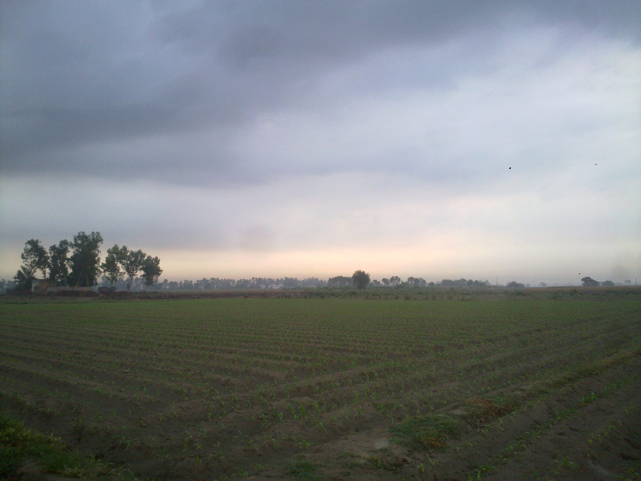
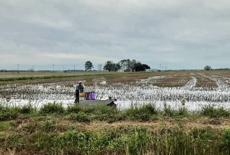
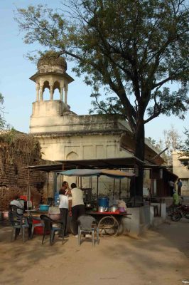
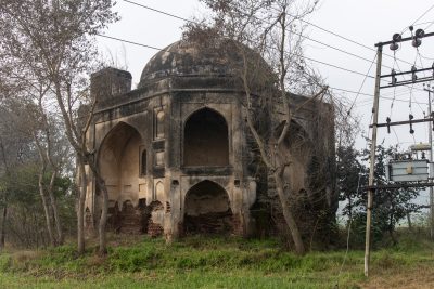
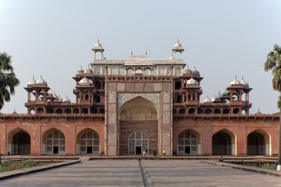
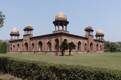
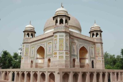
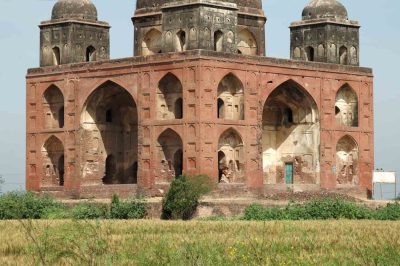
The Indo-Gangetic valley presents not only a logistically sound route for spreading populations, but also a sustainable environment for sedentary cultures to flourish. The massive scale of the Indo-Gangetic plain makes it the most extensive alluvial plain in the world, and with its 700,000 km2(434,960 mi2) expanse fed by the mighty Himalaya’s sediment-rich rivers, a critical source of staple foods for 14% of the worlds people. This oasis of agriculture, situated between the Himalayas and the Deccan Plateau, has become a focal point of Humanity that has both confined and created a cradle of civilizations and culture only comparable with Mesopotamia, the Mediterranean, and the Yellow River valley of China.
The Westernmost portion of the road from Kabul to the Peshawar Valley falls under the Cold Semi-Arid(BSk), Cold Desert(BWk), and Hot Semi-Arid(BSh) Köppen climate definitions. However, once reaching the Peshawar valley, the climate quickly shifts towards a primarily Humid Subtropical(Cfa) and, at times, Hot Semi-Arid climate along the river valley until reaching the Tropical Savanna(Aw) and Tropical Monsoon (Am) of Eastern India and Bangladesh. Foreign readers needing a comparison between the Indo-Gangeatic valley and others can find similarly fertile regions in the Southeastern United States, Southeast China, Western Europe, and Coastal Eastern Australia.
Bibliography
- Peel, M. C., B. L. Finlayson, and T. A. McMahon. 2007. “Updated World Map of the Köppen-Geiger Climate Classification.” Hydrology and Earth System Sciences 11, no. 5: 1633-1644. https://doi.org/10.5194/hess-11-1633-2007.