Supported
by the U.S. Ambassador’s Fund for Cultural Preservation 2023
An Intro to the Grand Trunk Road
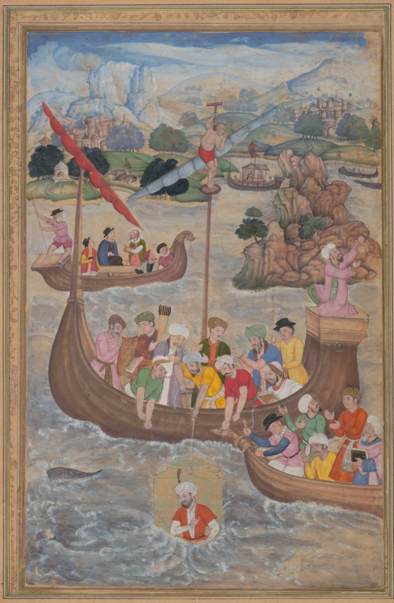
Empires may rise and fall, but they achieve immortality through the works of poets, architects, and their connections to the world. Though ancient empires like Rome and Persia have faded, their roads, structures, and texts preserve their legacy and form conceptions of an era of legends, philosophers, and great rulers that even today are seen as critical examples of how a government should lead their state.
Of all the world’s regions, few have seen as many people or as much political and cultural change as the Gangeatic valley in the northern reaches of the Indian subcontinent. From the chaos of foreign conquest and religion-defining epic battles to the rise of trade and religions that survive into our modern day, this river valley has influenced not only it’s immediate area, but the culture of the entire world. This cultural exchange was made possible by the facilitative geography of the river’s plains and the Khyber Pass in Afghanistan, one of the few mountain passes into the subcontinent from the west. These factors would lead to the emergence of a route known today as the Grand Trunk Road (GT road).
This critical highway has seen the likes of Cyrus the Great, Alexander the Great, Chandragupta Maurya, Genghis Khan’s Mongol horde, Tamerlane, and countless others descend into and out of Northern India. Today, the modern GT road generally rests along the historical route known variously as the Uttarapatha, Badshahi Sadak (Imperial Road), Sadak-e-Azam or Shah Rah-e-Azam (The Great Road), Sher Shah Suri road, and the Long Walk, runs across the Indian subcontinent through India, Pakistan, Bangladesh, and Afghanistan.
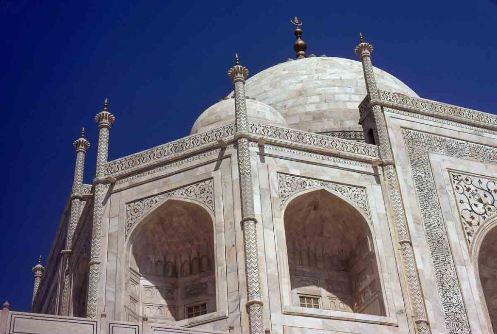
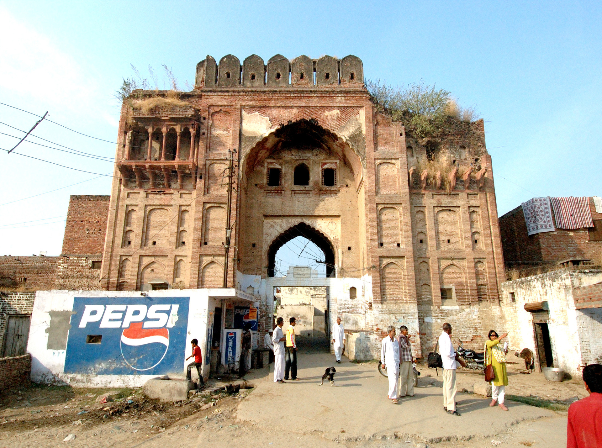
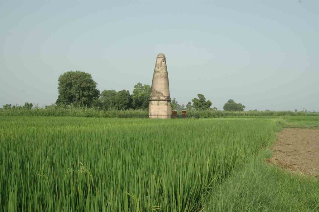
Traveling along the modern highway infrastructure of the GT road, one is met with a collage of the contemporary and ancient as the clustered midrises of modern cities and pro-wrestling themed Punjabi Dhabas (rest stops) intermingle with Mughal-era constructions. Along the journey, one will find themselves greeted by conical, octagonally based distance markers known as Kos Minars, great onion-shaped domes and the neck-straining minarets of noble tombs surrounded by the remains of lush gardens, and the roadside stops of the past: the Caravanserai. Of the nearly 3,000 kilometer-long road, the focal point of this route is arguably the stretch which contains Agra, Delhi, and Lahore, the former capitals of the Mughal empire (1526 C.E.-1797 C.E.). These cities hold some of the world’s most famous architectural marvels; from Lahore’s Badshahi mosque, to Delhi’s Red Fort, to Agra’s Taj Mahal, the remains of the Mughal empire capture the imagination of seasoned academics and inexperienced youth alike.
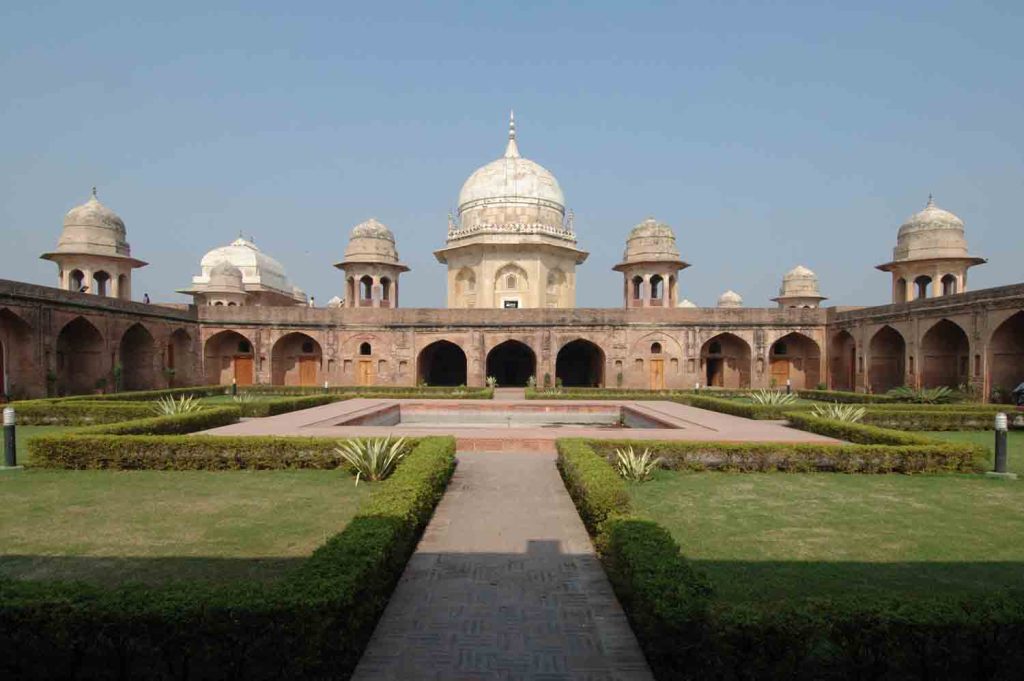
Even outside these major cities, one can encounter incredibly well-preserved sites along the GT road that showcase the breadth of these infrastructural initiatives. This is s at showcased at sites like the royal educator and Sufi saint Sheik Chilli’s tomb complex in Thanesar, Haryana. This stop along the route features an incredibly well-preserved example of the typical Mughal sites encountered along this road, with a sarai, gardens, mosque, and even a madrasa(school) directly adjacent to the even older Harsh Ka Tila mound, which holds the layered ruins of remains from the 19th century C.E. Mughal period to the 1300-300 B.C.E. pre-Vedic period.
This project is Agra to Amritsar: a Map of the Grand Trunk Road’s Mughal Architecture. Utilizing the Center for Art and Archaeology’s ongoing documentation of Indo-Islamic sites along the Grand Trunk Road and generously funded by the U.S. Ambassador’s Fund for Cultural Preservation 2023, this project is designed to provide an interactive starting point for those who wish to learn about the modern highway’s story and architecture. The focal point of this project is an interactive map that allows the reader to see the GT road’s entire route from Afghanistan to Bangladesh and engage with the Center’s currently published data on the road’s sites. This evolving map represents one of the first publicly available and digestible maps of the GT road on the Internet, complemented with a historic and architectural overview of its ruins and wonders to allow both academics and casual readers a chance to engage in the road, and more broadly, the background behind the architectural works of the Mughal period. Utilizing the route as a lens, we encounter the story of the Gangetic Valley from the prehistoric to the modern in an approachable format that demonstrates its historical importance as an avenue for trade, conquest, and culture to flourish.
Today, current documentation is limited to the stretch of the road from Agra in Uttar Pradesh, through the states of Haryana, Delhi, and Punjab before ending at the Indo-Pak border city of Amritsar, but as research continues and sites are unearthed, this exhibit will present an increasingly comprehensive demonstration of the GT road’s ruins and sites across the breadth of India. Whether the reader is an academic looking for the architecture and typology of Mughal sites or a traveler planning their venture along the same path of innumerable generations of humanity, this site will provide the curious an overview of the road, its history, and the architecture found along it to allow one to find their own path down the GT road.
